
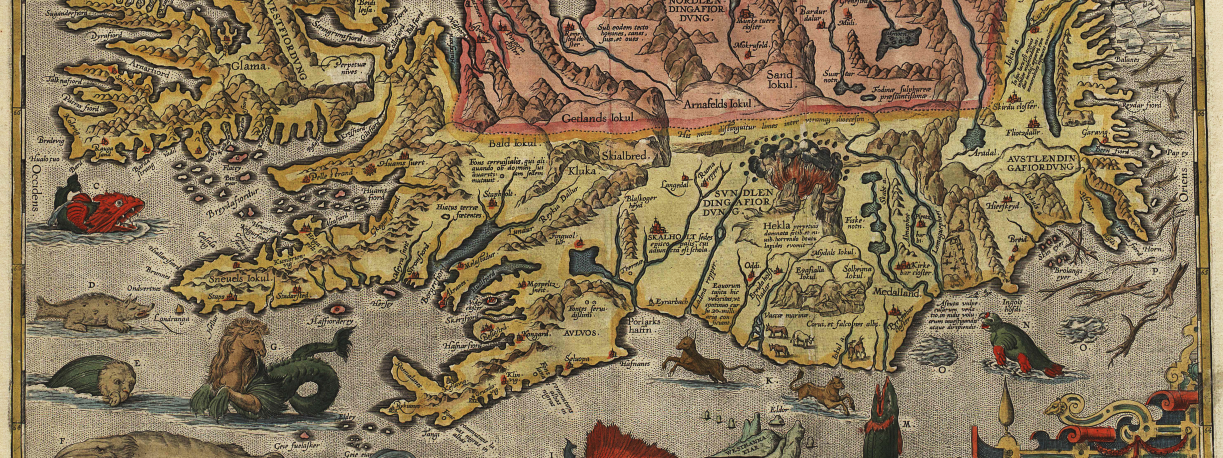
The map collection of the National and University Library of Iceland holds most of the maps of Iceland ever published. Most of them come to the Library through legal deposit (publishers must deliver copies to the Library by law).
The map collection is on the 1st floor and is one of the Library’s special collections. The main Icelandic maps are the Danish surveyors’ maps of the country from the early 20th century (the General Staff maps, herforingjaráðskortin), the British and American military maps from the mid-20th century (AMS maps), and the publications of the National Land Survey of Iceland (Landmælingar Íslands) and other publishers. The map collection also has a large library (over 600 volumes) on maps and cartography, donated by Haraldur Sigurðsson and his wife Sigrún Á. Sigurðardóttir. It includes reprints of the atlases of the foremost cartographers of past centuries, works by respected scholars in the field and the main journals on maps.
The reference room on the 2nd floor has a good number of atlases, among them a recent complete edition of the National Land Survey’s atlas sheets.
Íslandskort.is
Images of all the main maps of Iceland from the beginning to the mid-20th century. Every map comes with a historical description in both Icelandic and English.